Your company knows
more than it
can find.
AI knowledge retrieval for geoscience, subsurface, and technical energy teams.
Kataba turns legacy reports, well files, maps, scanned documents, and interpretations into source-cited answers your team can verify.
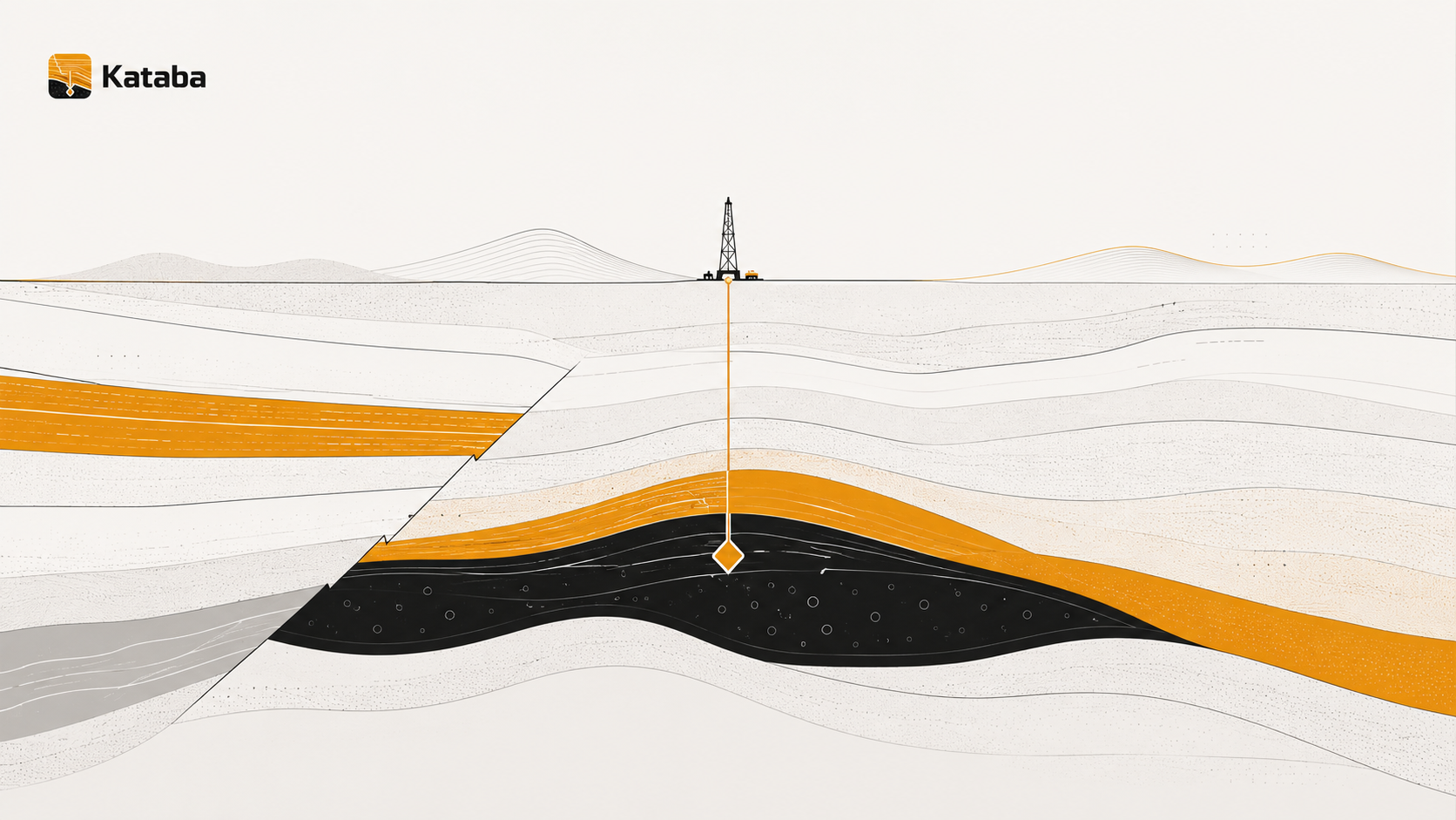
The knowledge exists. Finding it is the problem.
Subsurface teams often have decades of valuable technical knowledge scattered across PDFs, scanned reports, PowerPoints, maps, well files, shared drives, inboxes, and retired experts' laptops. When that knowledge is hard to retrieve, teams lose time, recreate prior work, and make decisions without full context.
The cost of buried knowledge is well documented
of the workweek knowledge workers spend searching for and gathering information
McKinsey Global Institute
reduction in engineering-modification update time after deploying a knowledge-management system
Schlumberger · Wharton / Mack Institute
in total savings attributed to knowledge-management programs over eight years
Chevron · Wharton / Mack Institute
lower search time across roughly two million documents with AI document retrieval
AWS · DataStax · Shorthills AI case study
Ask your technical documents a question. Get an answer with evidence.
Kataba retrieves relevant passages from your document set, ranks the evidence, and generates a concise answer with citations back to the original source.
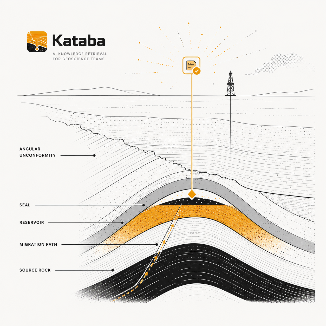
Designed for private deployment
Kataba can be deployed in a controlled environment so proprietary documents remain isolated and traceable.
Plain-English questions
Ask by basin, field, formation, well, interval, or concept — the way you'd ask a colleague. No query language. No training required.
Every answer is cited
Source document, page number, and retrieved evidence are shown so users can verify before acting.
Pilot with a focused document set.
We start with a limited, well-defined corpus so retrieval quality, citation accuracy, and high-value workflows can be validated before any broader deployment.
Typical corpus
- Basin reports and field studies
- Well files and completion reports
- Scanned PDFs and legacy maps
- Technical presentations and memos
- Interpretations and internal analyses
Typical pilot goals
- Test retrieval quality and citation accuracy
- Identify high-value workflows
- Estimate time saved per team member
- Validate knowledge coverage
- Define deployment requirements
Underground Natural Gas Storage
Procedure gap analysis for API RP 1170 and 1171
Kataba helps UGS teams trace applicable requirements into operating procedures and supporting records, identify gaps and outdated evidence, and prepare a reviewable package for engineering and compliance approval.
Explore Kataba for UGSPRACTICAL GUIDE
Why a Cited AI Answer Is Not Proof That UGS Evidence Is Complete
A citation can show where an AI-generated statement came from. It cannot show whether the full UGS evidence chain was reviewed, whether the source was applicable, or whether a required record is missing.
Read why a citation isn't proof of completeness →Built by geoscience and software operators
Kataba is a US-based team. Two of us hold PhDs in geosciences, one is actively working in the oil industry, and two previously worked together on applied machine learning at Apple. We are speaking with early teams who want to validate the value before committing to a broader deployment.
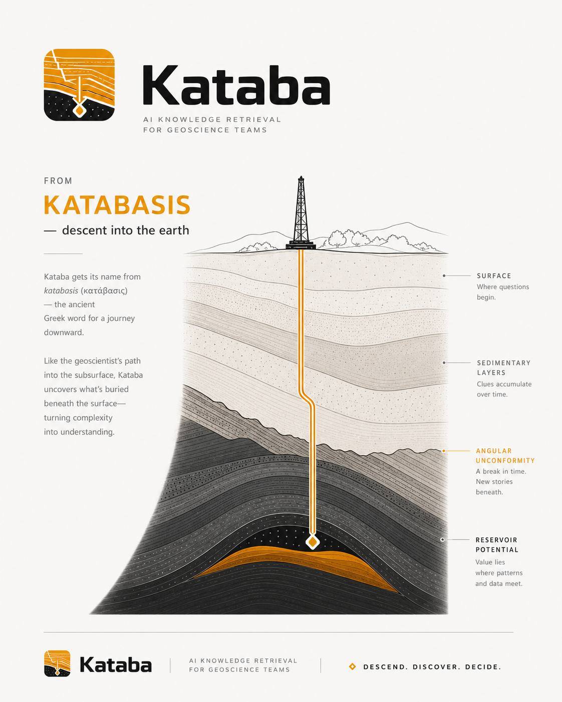
Named for the descent.
Kataba takes its name from katabasis (κατάβασις) — the ancient Greek word for a journey downward. Like the geoscientist's path into the subsurface, Kataba uncovers what's buried beneath the surface, turning complexity into understanding.
Descend. Discover. Decide.
Want to test Kataba on a
real document set?
We are speaking with geoscience and subsurface teams dealing with legacy reports, maps, scans, and fragmented technical knowledge.